Photo Gallery in Time Travel Dropdown
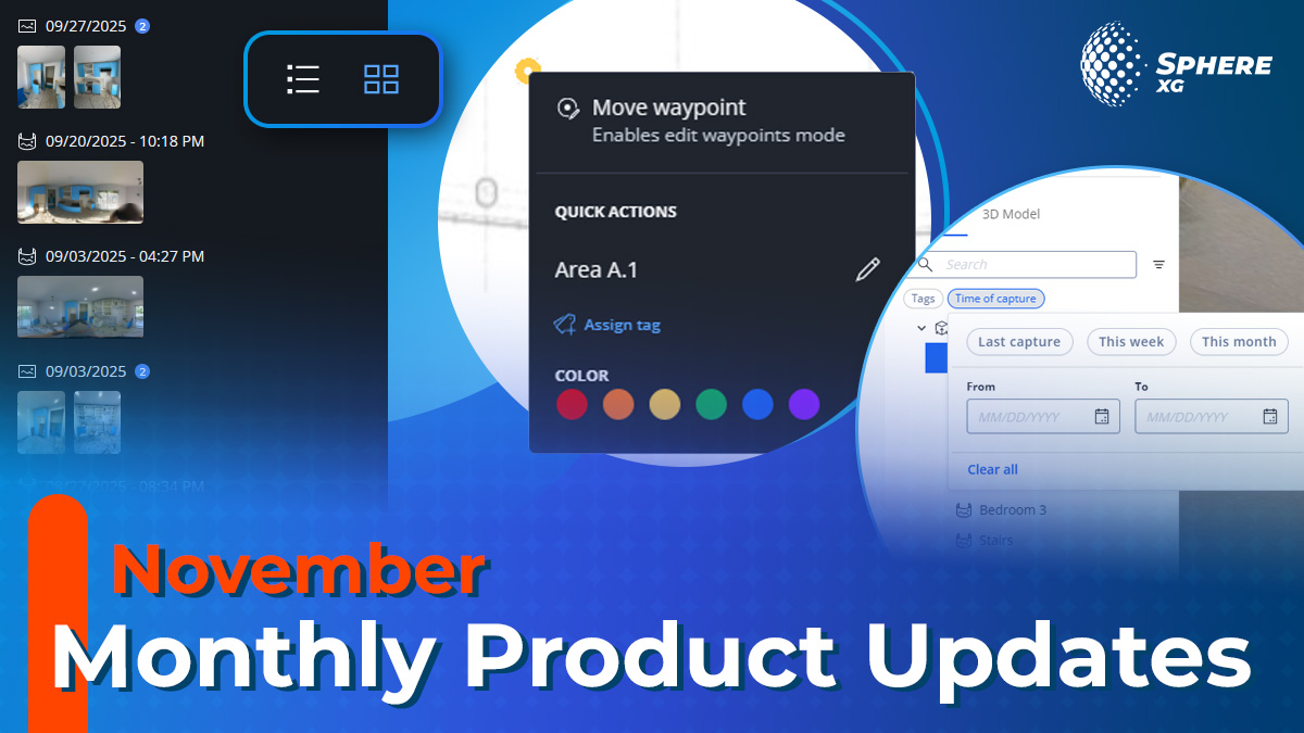
Finding the right photo just got significantly easier: the new gallery view offers a visual alternative to the traditional date list when browsing captures at any waypoint. Instead of scanning through dates in the time travel dropdown, you’ll see thumbnail previews of all 360° and 2D photos captured at that location, enabling you to see all captures at a glance. The gallery works alongside the existing date-based view, giving you the flexibility to navigate in whichever way suits your workflow.
Tagging of 360° Time Points
There are now two tagging options to serve different documentation needs. They are:
- Location-Based Tagging: Tag entire waypoints. When you add tags to a waypoint, all photos at that location, including future captures, automatically inherit the tag. Perfect for marking specific areas or location details like elevators, emergency exits and more.
- Time-Based Tagging: Tag individual 360° photos. You can also add tags to a 360° photo of a specific point in time. This is ideal for documenting construction phases or specific project milestones.
Enhanced Filters Now Available
You can now navigate complex projects more efficiently with expanded filter capabilities. Filter waypoints by date, name, or tags to focus on relevant documentation. You can also use the new “Last capture” filter to quickly access the most recent photos across your project. Waypoints that don’t match your active filters are greyed out.
To apply filters, either just type in text in the search bar on top of the project tree or click on the 3 lines next to it to access the tags and date menu.
Quick Assignment of Colors and Tags via Right-Click
In the 2D overview you can now right-click any waypoint to instantly edit waypoint names, assign custom colors from a predefined palette, and add or modify tags without navigating through multiple menus. Custom colors enable you to create visual coding systems tailored to your project requirements, for instance by area, trade, or project milestones.
These options are also integrated into the “Edit waypoint” that opens via the three-dot menu next to a waypoint in the project tree.
Note: Custom colors are only visible when “HoloBuilder color” is selected in View Settings > Colorize.
Global Unit Settings
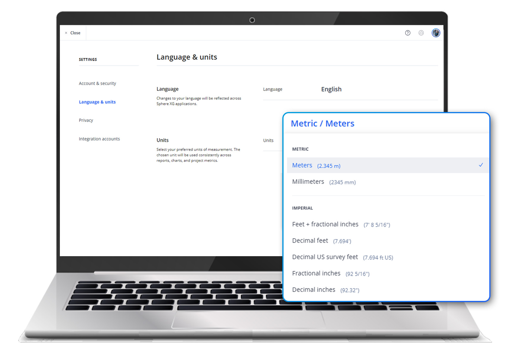
All users, including guests, can now configure their preferred default measurement units. Just click on your profile icon and go to Settings > Language & units. Multiple options accommodate country-specific standards, ensuring every team member can work seamlessly with their preferred units, whether metric or imperial.