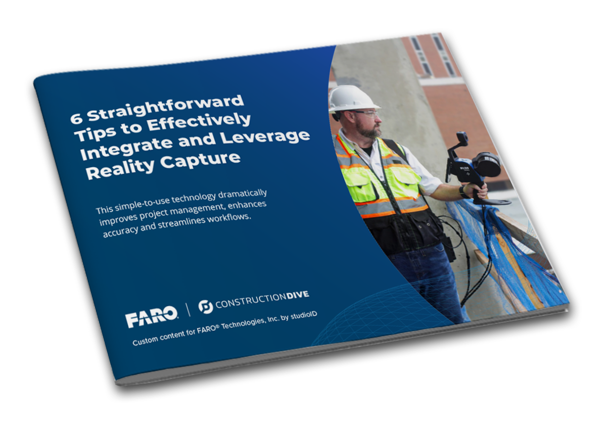
Discover the fundamentals of reality capture. This technology reimagines how active jobsites and projects are documented, monitored, and managed. SLAM (Simultaneous localization and mapping) data alongside 360° photos and 3D point clouds enable remote access to digital versions of active jobsites, keeping everyone on the same page.
However, when it comes down to it, each reality capture method has its pros and cons, with the question of speed versus accuracy often being the determining factor: how fast and how accurate do you need the data?
360° Photos: Captured with a 360° camera, this is the quickest data capturing method but offers the least detail. Best for situations where you need quick visual clarification.
SLAM Data: Obtained by integrating sensor and positional data, mobile SLAM scanners like the FARO® Orbis™ produce a 3D visual representation of projects by walking and scanning the jobsite to create floorplans and point clouds.
3D Laser Scanning: Terrestrial laser scanners like the FARO Focus Premium generate the most accurate data, with millimeter-level accuracy. This high accuracy, however, comes at the cost of being more time-consuming.
Watch this video better to understand these three capture methods and their most common applications.