
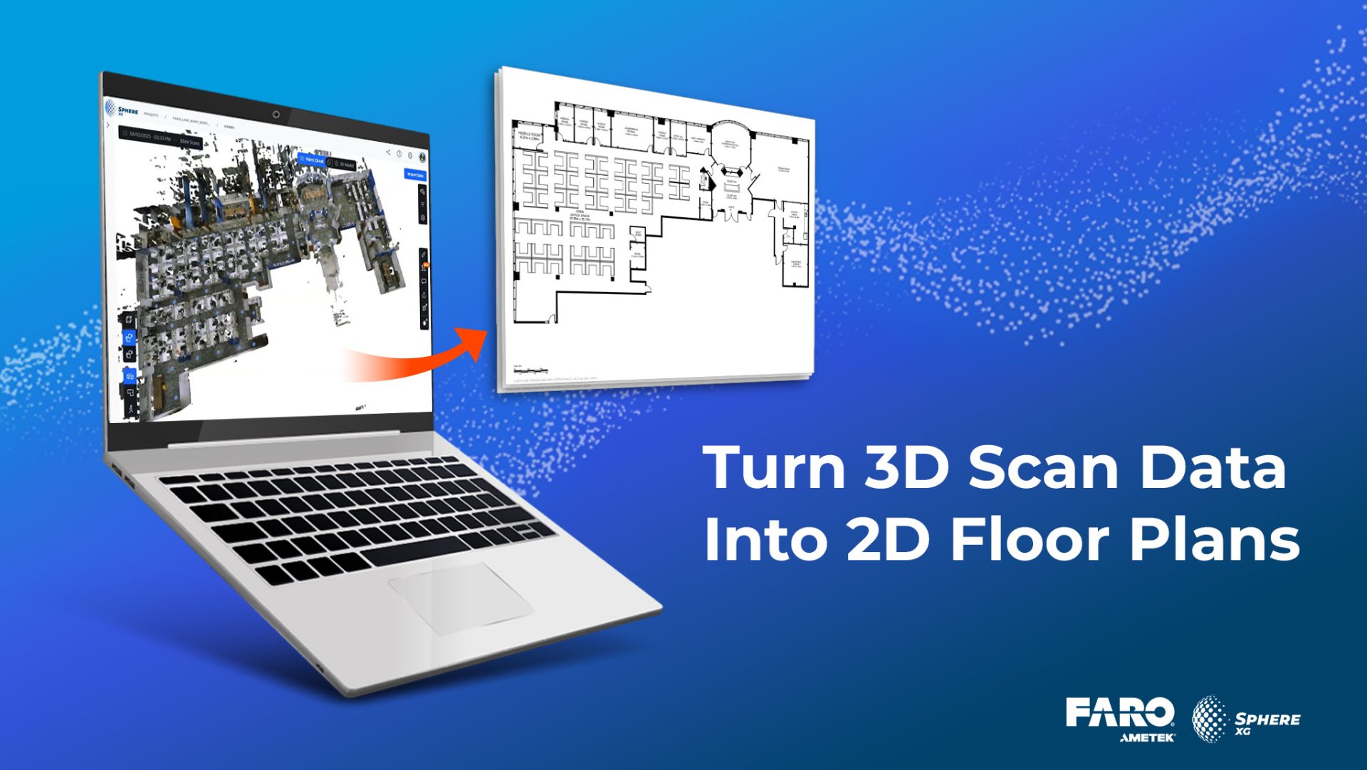
FARO Sphere® XG users, keep an eye out for this new feature! Available to our point cloud users, you can now test the creation of schematic 2D floor plans directly from your 3D scan data. Floor plans provide a quick and easy way to understand your projects’ layouts at a glance.
Streamlined Space Documentation from 3D to 2D
Transform detailed 3D scan data into clear, simplified 2D representations of the overall room layout. Designed for accessibility, floor plans offer a high-level overview of spaces that professionals across various industries can immediately understand, in contrast to 3D data (such as point clouds and 3D models), which typically requires more expertise to interpret effectively. The 2D floor plans are generated directly from your 3D scan data, ensuring that they maintain spatial accuracy and relationships.
Key Capabilities
Each floor plan is schematic and gives an overview of rough dimensions as well as room layouts, including the placement of doors (including swings), windows, walls, columns, openings, stairs, toilets, elevators, closets, and sinks. This information provides users with everything they need to understand a property’s structure.
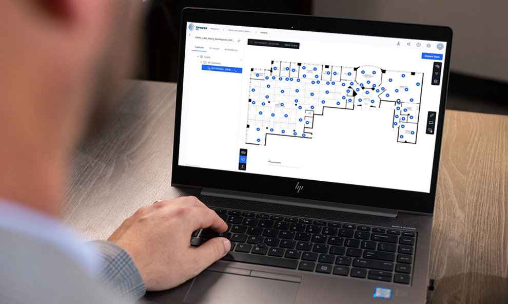
Visualize your captures on the floor plan for better spatial context
The plans focus on spatial relationships rather than millimeter-perfect accuracy. This makes them ideal for presentations, preliminary valuations, and marketing materials where clarity and quick comprehension are more important than precise measurements.
With this new way to visualize and communicate spatial data, you’ll be able to provide the clarity and accessibility that modern professionals demand with simplified yet comprehensive floor plans.
Use Cases Across Industries
Construction teams can use these plans to visualize projects in their early stages, helping with resource planning and team coordination before detailed construction documents are finalized. 2D floor plans also play a key role for construction progress documentation. The room overview helps users to position 360° photos or scans on their correct on-site location. Paired with Orbis or VideoMode, accurate walking paths can be visualized on the floor plan, to check which rooms were covered.
Real estate professionals can use floor plans to give potential buyers or renters immediate understanding of property layouts, enhancing marketing materials and virtual tours.
Meanwhile, architects and designers can utilize schematic floor plans during the conceptual phase to visualize overall layouts and gather feedback before investing in detailed architectural drawings.

Appraisers and valuators can also quickly assess property layouts for initial valuations, streamlining their workflow and improving client communication.
Public safety professionals and first responders can use floor plans generated from their scan data to quickly visualize and understand building layouts for pre-incident planning, tactical response, and post-incident reporting. These ready-to-use floor plans improve response preparedness, accelerate critical decision-making at the scene, and strengthen coordination across agencies.
How to Generate Your Floor Plans
Here’s how you can generate your very own floor plans:
- As a user with an active point cloud subscription, this feature will be automatically assigned to you.
- From the left side bar in Sphere XG, click the three dots next to your point cloud and hit “Generate Floor Plan”. Choose your preferred measurement units (imperial or metric) then click “Generate” to submit your request.
- When processing is complete, you’ll receive an email notification. Navigate to “Cloud Activity” via the cloud icon in the top menu, then click the “Export” tab to view your completed floor plans. To download to your local drive, click “Download” and choose your preferred file format.
- There you go! You can now mark up your floor plan if needed and re-upload it into your Sphere XG project by adding a new layer. Simply align the floor plan to your scan data to see where the scans were captured and get better spatial context.


